by InTrieste
A low-pressure system continued to affect Friuli Venezia Giulia on Thursday, February 5, 2026, bringing overcast skies, widespread rainfall, and significant snowfall in mountainous areas, according to the regional weather agency Arpa FVG.
The system, which intensified on Wednesday, caused the most severe disruptions along the coast and in several inland municipalities. In Trieste, rain persisted overnight and through the morning hours, accompanied by a moderate Bora wind that was stronger early in the day and expected to weaken by the afternoon. Sea conditions were forecast to remain rough to very rough, with temperatures ranging between 6 and 13 degrees Celsius.
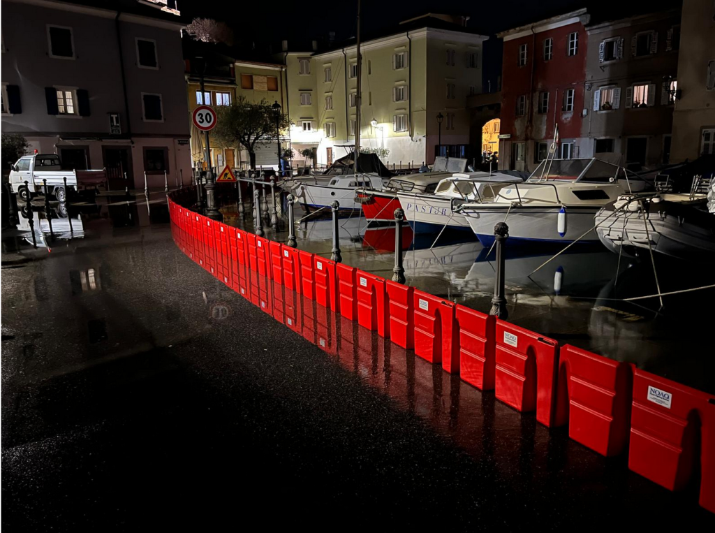
Coastal flooding was reported Wednesday night, particularly in Grado, where the high tide peaked at 145 centimeters at 11:40 p.m. Sirens were activated around 10:30 p.m. to warn residents in streets near the port and waterfront as seawater inundated roads. In nearby Muggia, volunteers erected protective barriers to safeguard the historic center, where the tide reached a peak of 137 centimeters. Officials noted that the absence of strong Scirocco winds helped prevent more serious damage.
Across the region, emergency services received reports of localized flooding in several municipalities, including Trivignano Udinese, Palmanova, Pavia di Udine, Gonars, Campoformido, Campolongo Tapogliano, Pagnacco, and Fagagna, where some roads were temporarily closed. Power outages were also reported in Val Resia. By Thursday morning, authorities said conditions had largely returned to normal in the affected areas.
Inland plains and hilly zones experienced widespread rainfall, generally light to moderate, with higher accumulations recorded in the western part of the region. In the mountains, precipitation fell largely as snow. The snow line initially stood at around 1,000 meters but dropped sharply from late Wednesday afternoon, reaching approximately 400 meters in most areas, with the exception of the Natisone valleys, where it remained higher.
By 6 a.m. on Thursday, snowfall totals included approximately 40 centimeters at Piancavallo, 35 centimeters in Sappada and on Mount Zoncolan, and around 30 centimeters in Forni di Sopra and the Tarvisio area. At higher elevations, accumulations ranged between 40 and 50 centimeters, with up to 60 centimeters recorded on Mount Canin. In lower valleys, the heavy, wet nature of the snow limited accumulations to between 10 and 15 centimeters.
Meteorologists said the most intense phase of the weather system had largely passed, though additional moderate precipitation was expected over the following hours, particularly in the Prealps and lowland areas. Along the coast, the Bora wind was forecast to continue easing as conditions gradually improved across the region.